File:BC Ferries Zone Two.png
Jump to navigation
Jump to search

Size of this preview: 761 × 600 pixels. Other resolutions: 305 × 240 pixels | 609 × 480 pixels | 1,002 × 790 pixels.
Original file (1,002 × 790 pixels, file size: 1.13 MB, MIME type: image/png)
File history
Click on a date/time to view the file as it appeared at that time.
| Date/Time | Thumbnail | Dimensions | User | Comment | |
|---|---|---|---|---|---|
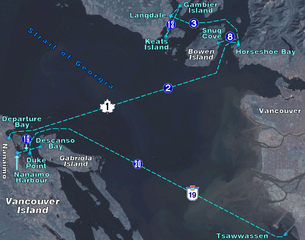
| current | 00:39, 18 April 2006 | | 1,002 × 790 (1.13 MB) | commons>Denelson83 | BC Ferry routes in the region of Central Georgia Strait. Map background from w:NASA World Wind, route diagram self-created. {{PD-self}} Category:Maps of British Columbia |
File usage
There are no pages that use this file.