File:Azadegan Expressway map.png
Jump to navigation
Jump to search
Size of this preview: 800 × 460 pixels. Other resolutions: 320 × 184 pixels | 640 × 368 pixels | 991 × 570 pixels.
Original file (991 × 570 pixels, file size: 78 KB, MIME type: image/png)
File history
Click on a date/time to view the file as it appeared at that time.
| Date/Time | Thumbnail | Dimensions | User | Comment | |
|---|---|---|---|---|---|
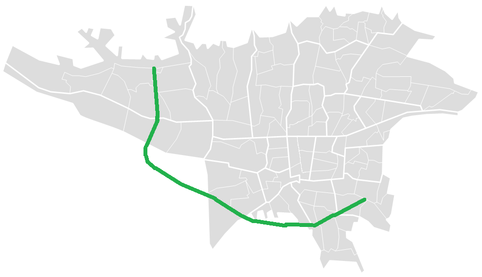
| current | 03:08, 6 April 2011 | | 991 × 570 (78 KB) | commons>BasilLeaf | {{Information |Description ={{en|1=Azadegan Expressway map in Tehran}} {{fr|1=La carte de voie expresse de Azadegan en Teheran}} |Source ={{own}} from File:TehranBlank.png |Author =Nima Farid |Date = | |
File usage
There are no pages that use this file.