File:Australia Victoria Wodonga City location map.svg
Jump to navigation
Jump to search

Size of this PNG preview of this SVG file: 535 × 385 pixels. Other resolutions: 320 × 230 pixels | 640 × 461 pixels | 1,024 × 737 pixels | 1,280 × 921 pixels | 2,560 × 1,842 pixels.
Original file (SVG file, nominally 535 × 385 pixels, file size: 505 KB)
File history
Click on a date/time to view the file as it appeared at that time.
| Date/Time | Thumbnail | Dimensions | User | Comment | |
|---|---|---|---|---|---|
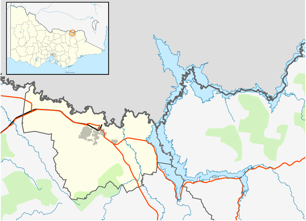
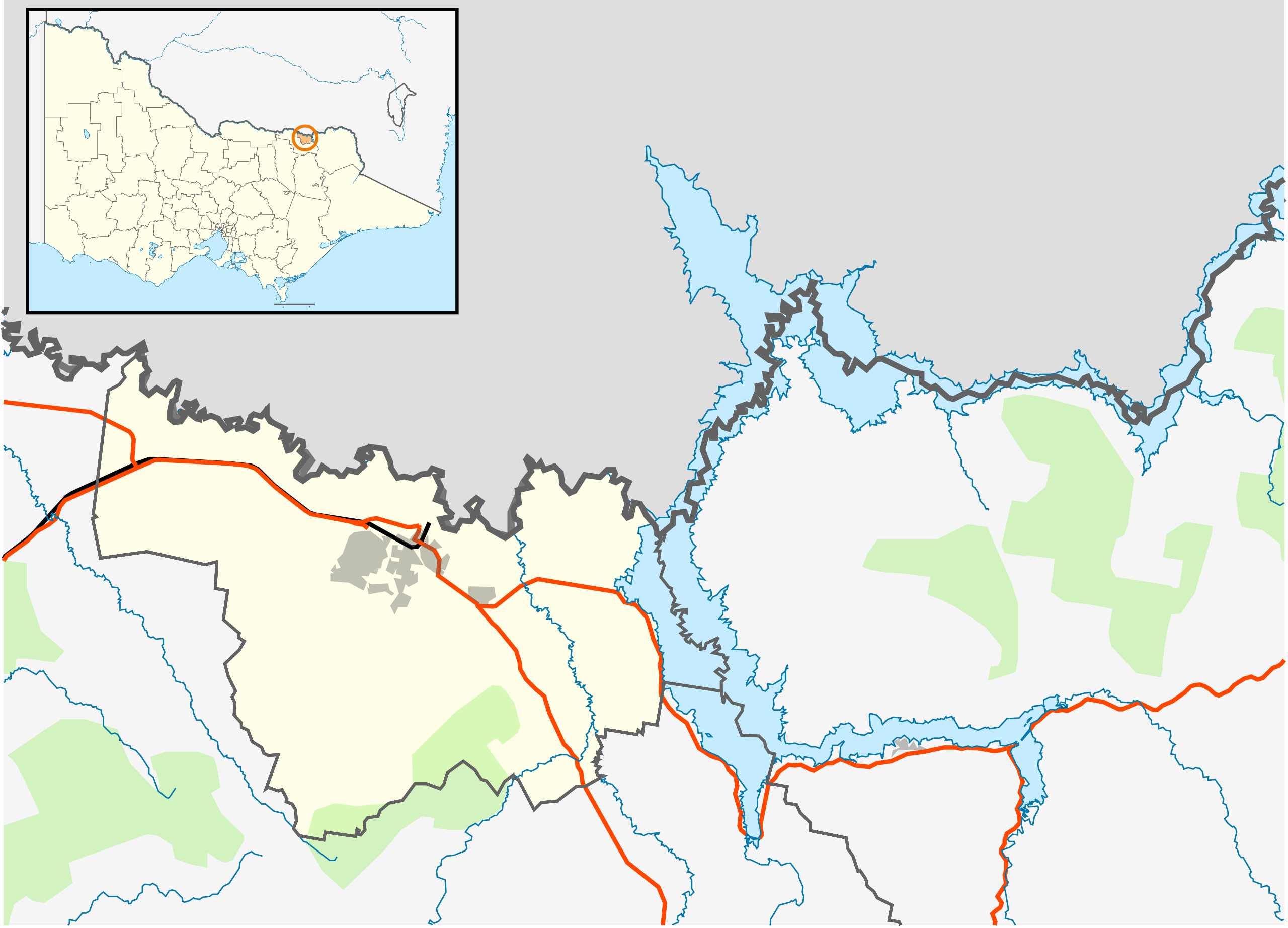
| current | 16:16, 17 February 2011 | | 535 × 385 (505 KB) | commons>Cassowary | {{Information |Description ={{en|1=Blank map of the w:City of Wodonga, Victoria, Australia, with the following information shown: * LGA boundaries * Coastline, lakes and rivers * Roads and railways * Urban areas * Parks Geographic limits: * North: |
File usage
There are no pages that use this file.