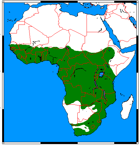
File:Atilax paludinosus range map.png
Jump to navigation
Jump to search
No higher resolution available.
Atilax_paludinosus_range_map.png (456 × 473 pixels, file size: 18 KB, MIME type: image/png)
File history
Click on a date/time to view the file as it appeared at that time.
| Date/Time | Thumbnail | Dimensions | User | Comment | |
|---|---|---|---|---|---|
| current | 01:07, 18 March 2018 | | 456 × 473 (18 KB) | commons>Maphobbyist | Border updates: South Sudan, Eritrea and Lebanon added, Yemen united, the former Neutral Zone and Waalvisbai removed, and all border gaps filled. |
File usage
There are no pages that use this file.