File:Ashkelon1870s.jpg
Jump to navigation
Jump to search

Size of this preview: 800 × 501 pixels. Other resolutions: 320 × 200 pixels | 640 × 401 pixels | 1,024 × 642 pixels | 1,280 × 802 pixels | 1,877 × 1,176 pixels.
Original file (1,877 × 1,176 pixels, file size: 500 KB, MIME type: image/jpeg)
File history
Click on a date/time to view the file as it appeared at that time.
| Date/Time | Thumbnail | Dimensions | User | Comment | |
|---|---|---|---|---|---|
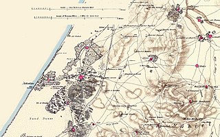
| current | 09:43, 27 May 2007 | | 1,877 × 1,176 (500 KB) | commons>Zero0000 | == Summary == Portion of map produced by the Survey of Western Palestine, first published in 1880 by the Committee of the Palestine Exploration Fund. The editor, Walter Besant, died in 1901. This portion was made by the uploader out of portions of three |
File usage
There are no pages that use this file.