File:Arthur 2014 path.png
Jump to navigation
Jump to search
Size of this preview: 631 × 600 pixels. Other resolutions: 252 × 240 pixels | 505 × 480 pixels | 808 × 768 pixels | 1,077 × 1,024 pixels | 2,154 × 2,048 pixels | 2,700 × 2,567 pixels.
Original file (2,700 × 2,567 pixels, file size: 5.74 MB, MIME type: image/png)
File history
Click on a date/time to view the file as it appeared at that time.
| Date/Time | Thumbnail | Dimensions | User | Comment | |
|---|---|---|---|---|---|
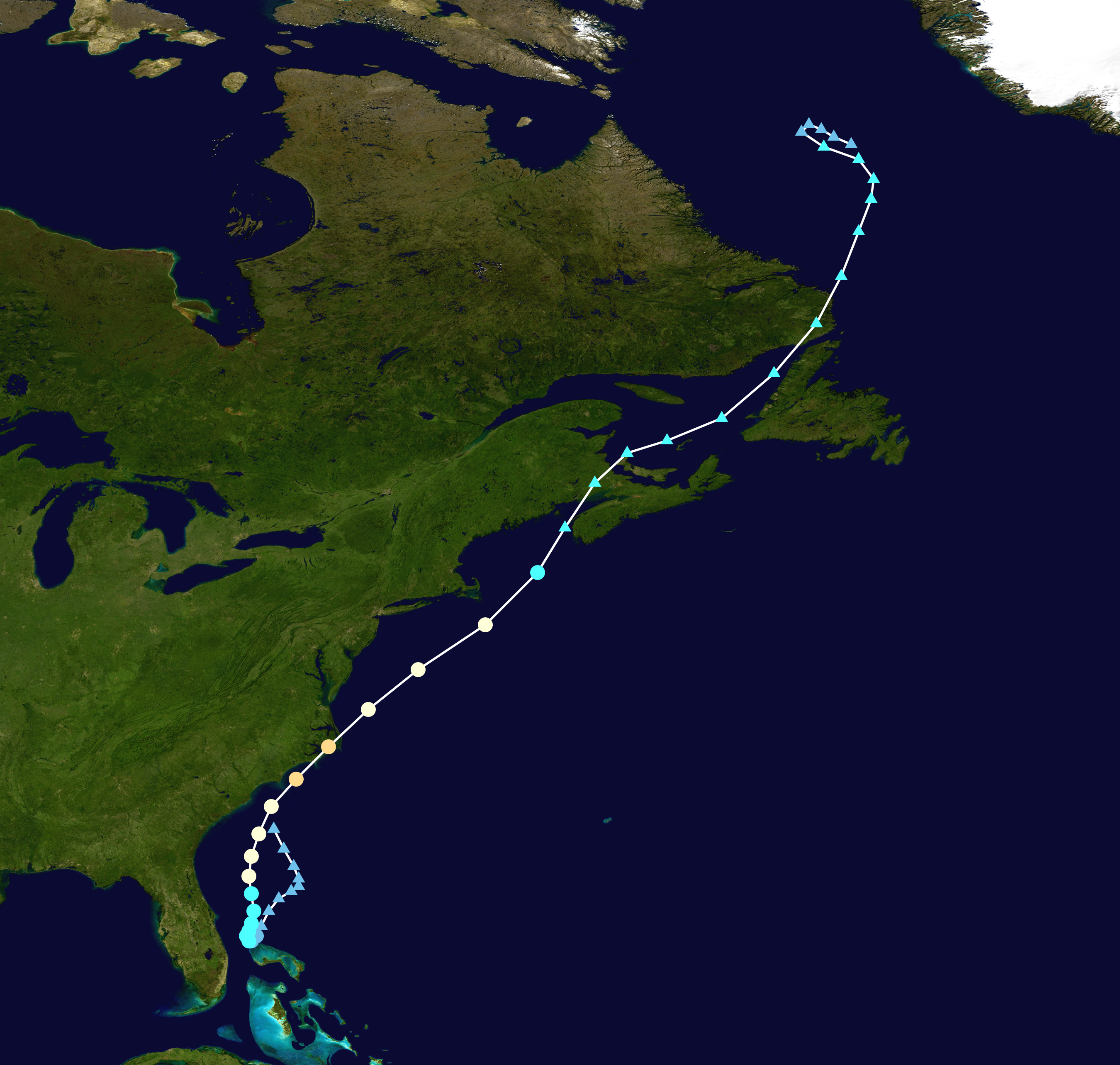
| current | 16:56, 26 February 2024 | | 2,700 × 2,567 (5.74 MB) | commons>2003 LN6 | {{WPTC track map | author = 2003 LN6 | name = Hurricane Arthur | article = Hurricane Arthur | season = 2014 Atlantic hurricane season |colors=new | start = 2014-06-28 | end = 2014-07-09 | source=NHC | catname=Hurricane Arthur (2014) | code=/track --format atcf --input ../data/2013/btk/bal012014.dat --output ../png/Arthur_2014_track.png --extra 1 AL012014, ARTHUR, 47, 20140628, 1800, , LO, 32.0N, 78.2W, 20, 1017, 0, 0, 0, 0, 0, 0, 0, 0, 0... |
File usage
There are no pages that use this file.