File:Arrondissement Brussels-Periphery Belgium Map.PNG
Jump to navigation
Jump to search
No higher resolution available.
Arrondissement_Brussels-Periphery_Belgium_Map.PNG (270 × 203 pixels, file size: 5 KB, MIME type: image/png)
File history
Click on a date/time to view the file as it appeared at that time.
| Date/Time | Thumbnail | Dimensions | User | Comment | |
|---|---|---|---|---|---|
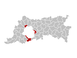
| current | 13:45, 31 March 2007 | | 270 × 203 (5 KB) | commons>Ganchelkas~commonswiki | {{en|Map of the former Arrondissement of Brussels-Periphery in the Province of Flemish Brabant, Belgium.}} {{nl|Kaart van het voormalige arrondissement Brussel-Randgemeenten in de provincie Vlaams-Brabant.}} {{fr|Carte indiquant la localisation de l'ancie |
File usage
There are no pages that use this file.