File:America sattelite.jpg
Jump to navigation
Jump to search
Size of this preview: 472 × 600 pixels. Other resolutions: 189 × 240 pixels | 378 × 480 pixels | 866 × 1,100 pixels.
Original file (866 × 1,100 pixels, file size: 470 KB, MIME type: image/jpeg)
File history
Click on a date/time to view the file as it appeared at that time.
| Date/Time | Thumbnail | Dimensions | User | Comment | |
|---|---|---|---|---|---|
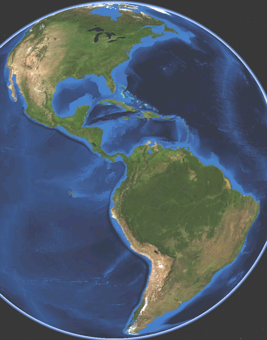
| current | 03:21, 15 March 2009 | | 866 × 1,100 (470 KB) | commons>Koyos | {{Information |Description={{en|1=Satellite map of America. Terrain and ocean topography.}} |Source=Own work by uploader, made with NASA World Wind. |Author=Koyos |Date=2009-03-15 |Permission= |other_versions= }} <!--{{ImageUpload|full}}-- |
File usage
There are no pages that use this file.