File:Alberta Highway 14 Map.png
Jump to navigation
Jump to search
Size of this preview: 356 × 600 pixels. Other resolutions: 142 × 240 pixels | 557 × 938 pixels.
Original file (557 × 938 pixels, file size: 120 KB, MIME type: image/png)
File history
Click on a date/time to view the file as it appeared at that time.
| Date/Time | Thumbnail | Dimensions | User | Comment | |
|---|---|---|---|---|---|
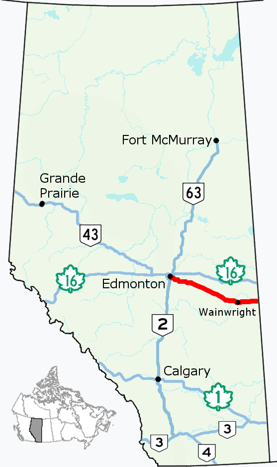
| current | 16:18, 6 August 2017 | | 557 × 938 (120 KB) | commons>AceYYC | {{Information |Description=Alignment of Highway 14 in Alberta, Canada. |Source={{Derived from|File:Alberta Highway 002.png}} *Simplified and optimized by Acefitt. |Author=*Original image (CC-BY-4.0): Hwy43 *Der... |
File usage
There are no pages that use this file.