File:Aerial view of Memorial Highway State Road 60 in Tampa, Florida.jpg
Jump to navigation
Jump to search

Size of this preview: 800 × 503 pixels. Other resolutions: 320 × 201 pixels | 640 × 403 pixels | 1,024 × 644 pixels | 1,280 × 805 pixels | 3,072 × 1,933 pixels.
Original file (3,072 × 1,933 pixels, file size: 1.76 MB, MIME type: image/jpeg)
File history
Click on a date/time to view the file as it appeared at that time.
| Date/Time | Thumbnail | Dimensions | User | Comment | |
|---|---|---|---|---|---|
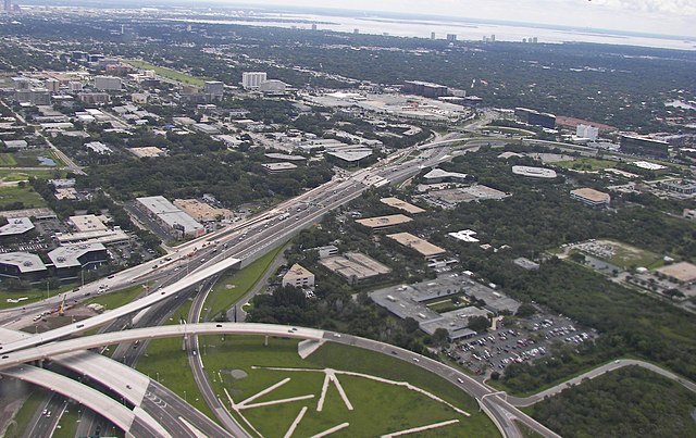
| current | 04:07, 26 February 2011 | | 3,072 × 1,933 (1.76 MB) | commons>Wknight94 | == {{int:filedesc}} == {{Object location dec|27.953051|-82.535133|region:US-FL_scale:10000}} {{Location dec|27.958055|-82.54509|region:US-FL_scale:10000_heading:SE}} {{Information |Description={{en|Aerial view looking southeast at the Memorial Highway/{{w |
File usage
There are no pages that use this file.