File:Aerial Crater Lake.jpg
Jump to navigation
Jump to search
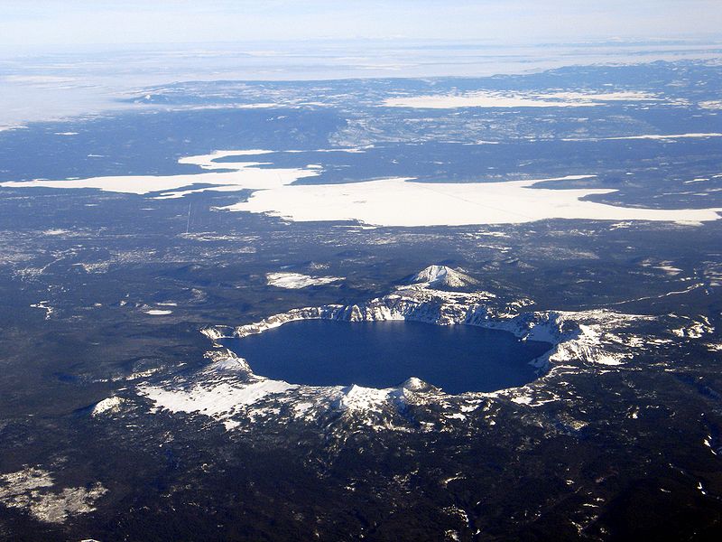
Size of this preview: 800 × 600 pixels. Other resolutions: 320 × 240 pixels | 640 × 480 pixels | 1,024 × 768 pixels | 1,280 × 960 pixels | 2,560 × 1,920 pixels | 3,072 × 2,304 pixels.
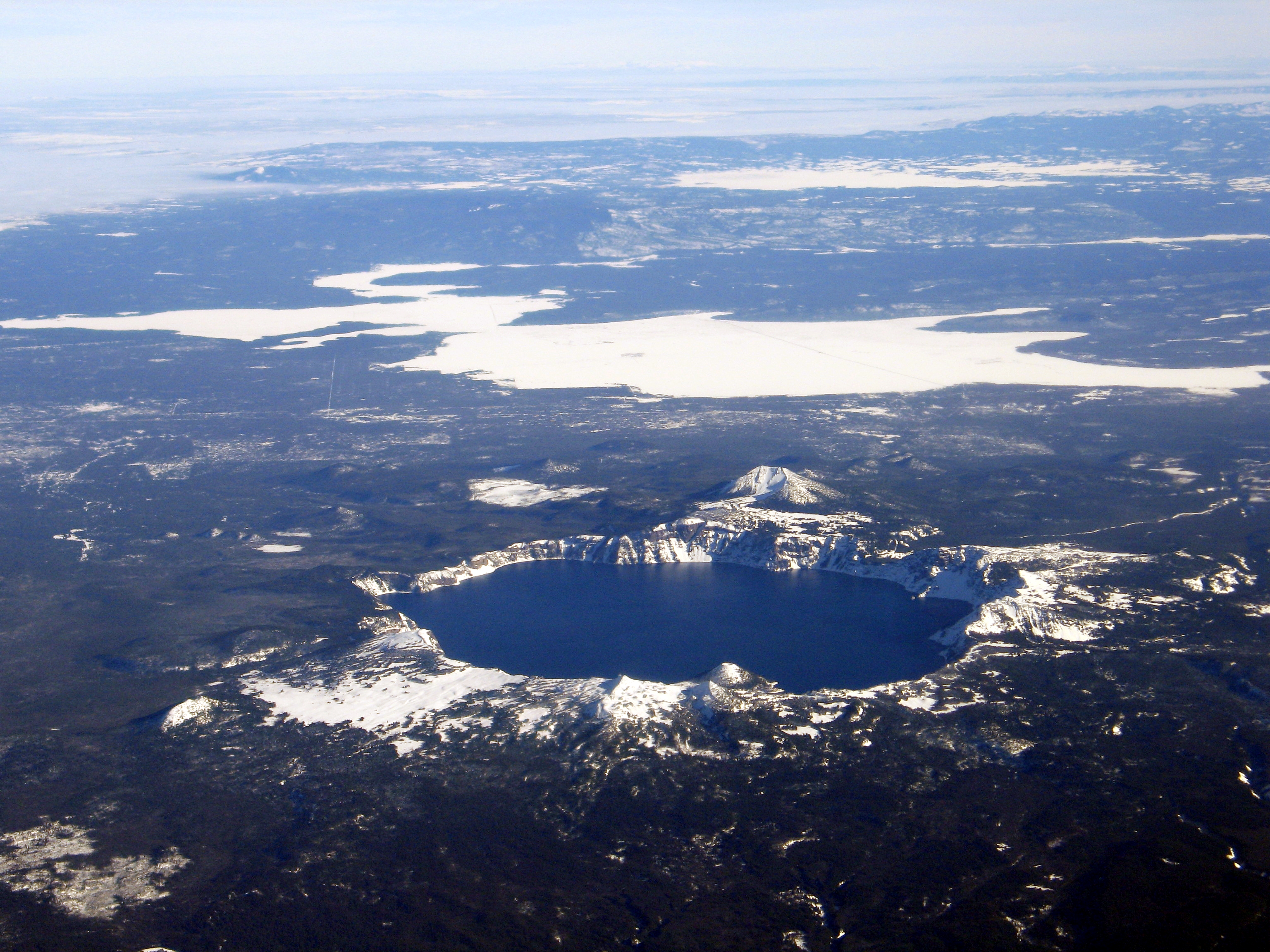
Original file (3,072 × 2,304 pixels, file size: 4.57 MB, MIME type: image/jpeg)
File history
Click on a date/time to view the file as it appeared at that time.
| Date/Time | Thumbnail | Dimensions | User | Comment | |
|---|---|---|---|---|---|
| current | 06:48, 2 August 2006 | | 3,072 × 2,304 (4.57 MB) | commons>RGM~commonswiki | Aerial view, Crater Lake, Wizard Island, and Mount Scott, as seen from the west. USGS Photograph taken on December 10, 2005, by Mike Doukas. |
File usage
There are no pages that use this file.