File:Abobo (Ivory Coast, OpenStreetMap).png
Jump to navigation
Jump to search

Size of this preview: 800 × 504 pixels. Other resolutions: 320 × 202 pixels | 640 × 403 pixels.
Original file (952 × 600 pixels, file size: 228 KB, MIME type: image/png)
.png)
File history
Click on a date/time to view the file as it appeared at that time.
| Date/Time | Thumbnail | Dimensions | User | Comment | |
|---|---|---|---|---|---|
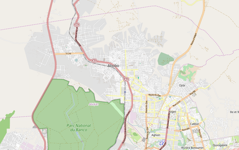
| current | 22:07, 21 July 2015 | | 952 × 600 (228 KB) | commons>DerBorg | {{OpenStreetMap|odbl=no|name=Zulueta}} == {{int:filedesc}} == *'''Source link:''' [http://www.openstreetmap.org/#map=13/5.4267/-4.0328 OSM map page of Abobo] *{{en|Map showing the Ivorian city of Abobo, a suburb of Abidjan.}} [[Category... |
File usage
There are no pages that use this file.
.png)