File:AMH-7041-KB Map of Fort Anké.jpg
Jump to navigation
Jump to search

Size of this preview: 700 × 599 pixels. Other resolutions: 280 × 240 pixels | 561 × 480 pixels | 897 × 768 pixels | 1,196 × 1,024 pixels | 2,400 × 2,055 pixels.
Original file (2,400 × 2,055 pixels, file size: 1.51 MB, MIME type: image/jpeg)
File history
Click on a date/time to view the file as it appeared at that time.
| Date/Time | Thumbnail | Dimensions | User | Comment | |
|---|---|---|---|---|---|
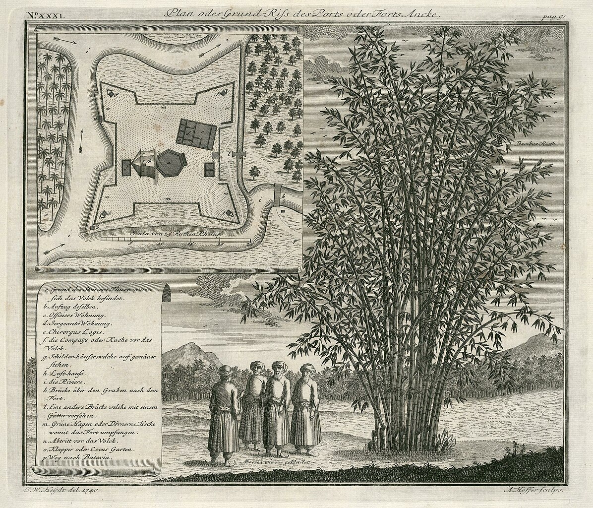
| current | 12:15, 10 June 2014 | | 2,400 × 2,055 (1.51 MB) | commons>HuskyBot | == {{int:filedesc}} == {{Artwork |title = {{nl|1=Plattegrond van fort Anké}} {{en|1=Map of Fort Anké}} |description = {{nl|1=Plattegrond van fort Anké. ''Plan oder Grund-Riss des Ports oder Forts Ancke''.... |
File usage
There are no pages that use this file.