File:4-Région-fr-Bourgogne-carte-R.jpg
Jump to navigation
Jump to search
No higher resolution available.
4-Région-fr-Bourgogne-carte-R.jpg (483 × 544 pixels, file size: 209 KB, MIME type: image/jpeg)
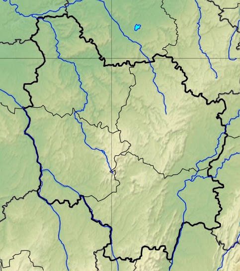
| Description | |||||
| Date | 11 December 2012 (upload date) | ||||
| Source | Decoupage dans carte de France de Sting | ||||
| Author | Wikisoft* @@@-fr 09:31, 11 December 2012 (UTC) | ||||
| Permission (Reusing this file) |
|
||||
| Other versions |

File history
Click on a date/time to view the file as it appeared at that time.
| Date/Time | Thumbnail | Dimensions | User | Comment | |
|---|---|---|---|---|---|
| current | 09:31, 11 December 2012 | | 483 × 544 (209 KB) | commons>Wikisoft* | {{Information |Description ={{fr|1=*Carte Bourgogne Relief *fr:Modèle:Géolocalisation/Bourgogne}} |Source =Decoupage dans carte de France de Sting |Author =~~~~ |Date =11/12/2012 |Permission ={{GFDL-GMT}} |ot... |
File usage
There are no pages that use this file.