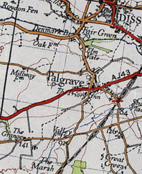
File:20th Century Boundary Map of Palgrave.PNG
Jump to navigation
Jump to search
No higher resolution available.
20th_Century_Boundary_Map_of_Palgrave.PNG (205 × 252 pixels, file size: 147 KB, MIME type: image/png)
File history
Click on a date/time to view the file as it appeared at that time.
| Date/Time | Thumbnail | Dimensions | User | Comment | |
|---|---|---|---|---|---|
| current | 08:21, 25 April 2016 | | 205 × 252 (147 KB) | commons>Waynewest96 | User created page with UploadWizard |
File usage
There are no pages that use this file.