File:2001 Massachusetts state senate district map.jpg
Jump to navigation
Jump to search

Size of this preview: 800 × 502 pixels. Other resolutions: 320 × 201 pixels | 640 × 401 pixels | 1,024 × 642 pixels | 1,280 × 802 pixels | 3,200 × 2,006 pixels.
Original file (3,200 × 2,006 pixels, file size: 876 KB, MIME type: image/jpeg)
File history
Click on a date/time to view the file as it appeared at that time.
| Date/Time | Thumbnail | Dimensions | User | Comment | |
|---|---|---|---|---|---|
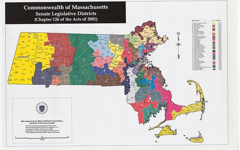
| current | 15:22, 19 April 2020 | | 3,200 × 2,006 (876 KB) | commons>M2545 | == {{int:filedesc}} == {{Information |description=Map of districts of the Massachusetts state senate apportioned in 2001. The map includes Census 2000 population information. |date=2001 |source=https://malegislature.gov/Redistricting/HistoricDistricts/Senate |author=Office of the Secretary of the Commonwealth of Massachusetts |permission= |other versions= }} {{PD-MAGov}} Category:Political maps of Massachusetts Category:Massachusetts Senate Category:2000 in Massachusetts |
File usage
There are no pages that use this file.