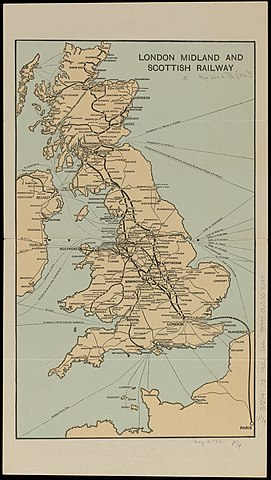
File:1920s (circa) London Midland and Scottish Railway map, from the Digital Commonwealth - commonwealth ht2504589.jpg
Jump to navigation
Jump to search

Size of this preview: 338 × 599 pixels. Other resolutions: 135 × 240 pixels | 271 × 480 pixels | 433 × 768 pixels | 578 × 1,024 pixels | 1,156 × 2,048 pixels | 3,961 × 7,016 pixels.
Original file (3,961 × 7,016 pixels, file size: 3.14 MB, MIME type: image/jpeg)
_London_Midland_and_Scottish_Railway_map,_from_the_Digital_Commonwealth_-_commonwealth_ht2504589.jpg)
File history
Click on a date/time to view the file as it appeared at that time.
| Date/Time | Thumbnail | Dimensions | User | Comment | |
|---|---|---|---|---|---|
| current | 21:40, 19 December 2021 | | 3,961 × 7,016 (3.14 MB) | commons>Daderot | Uploaded a work by Unknown from Digital Commonwealth with UploadWizard |
File usage
There are no pages that use this file.
_London_Midland_and_Scottish_Railway_map,_from_the_Digital_Commonwealth_-_commonwealth_ht2504589.jpg)