File:1866 cal grants survey.jpg
Jump to navigation
Jump to search

Size of this preview: 515 × 599 pixels. Other resolutions: 206 × 240 pixels | 412 × 480 pixels | 660 × 768 pixels | 880 × 1,024 pixels | 1,500 × 1,746 pixels.
Original file (1,500 × 1,746 pixels, file size: 378 KB, MIME type: image/jpeg)
File history
Click on a date/time to view the file as it appeared at that time.
| Date/Time | Thumbnail | Dimensions | User | Comment | |
|---|---|---|---|---|---|
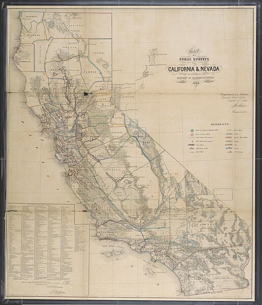
| current | 19:01, 11 December 2017 | | 1,500 × 1,746 (378 KB) | commons>Energynet | {{Information |Description ={{en|1=United States General Land Office. Map of public surveys in California & Nevada., map, 1866; [Washington D.C.]. (texashistory.unt.edu/ark:/67531/metapth192645/: accessed December 11, 2017), University of North Texa... |
File usage
There are no pages that use this file.