File:1838NSWMitchell.jpg
Jump to navigation
Jump to search

Size of this preview: 800 × 579 pixels. Other resolutions: 320 × 232 pixels | 640 × 463 pixels | 993 × 719 pixels.
Original file (993 × 719 pixels, file size: 114 KB, MIME type: image/jpeg)
File history
Click on a date/time to view the file as it appeared at that time.
| Date/Time | Thumbnail | Dimensions | User | Comment | |
|---|---|---|---|---|---|
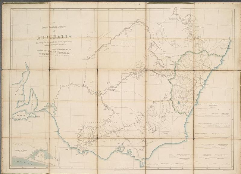
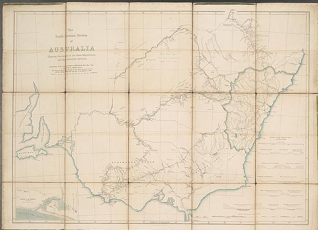
| current | 23:03, 8 July 2006 | | 993 × 719 (114 KB) | commons>Matilda | {{Information |Description= The south eastern portion of Australia showing the routes of the three expeditions and the surveyed territory. Mitchell's map of Victoria and New South Wales showing towns, major rivers and the limits of the Colony at the time |
File usage
There are no pages that use this file.