File:1814 NorthSquare Boston map Hales.png
Jump to navigation
Jump to search
Size of this preview: 691 × 600 pixels. Other resolutions: 277 × 240 pixels | 553 × 480 pixels | 818 × 710 pixels.
Original file (818 × 710 pixels, file size: 1.08 MB, MIME type: image/png)
File history
Click on a date/time to view the file as it appeared at that time.
| Date/Time | Thumbnail | Dimensions | User | Comment | |
|---|---|---|---|---|---|
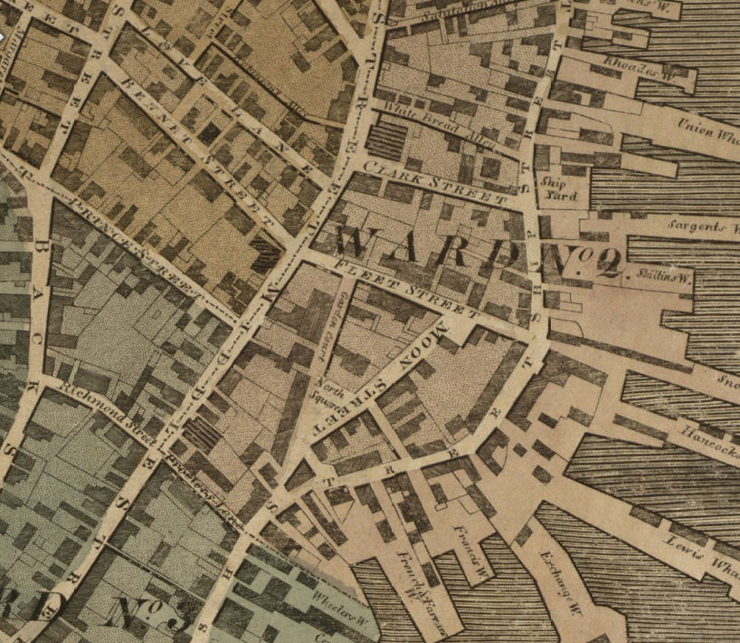
| current | 12:33, 27 March 2010 | | 818 × 710 (1.08 MB) | commons>M2545 | {{Information |Description={{en|1=Detail of 1814 map of Boston by John Groves Hale, showing North Square, Moon Street, Fleet Street, Prince Street, Love Lane and vicinity.}} |Source=Boston Public Library. http://maps.bpl.org/details_12926 |Author=Hale |Da |
File usage
There are no pages that use this file.