File:1769 NorthEnd Boston map WilliamPrice.png
Jump to navigation
Jump to search
Size of this preview: 683 × 600 pixels. Other resolutions: 273 × 240 pixels | 547 × 480 pixels | 813 × 714 pixels.
Original file (813 × 714 pixels, file size: 1.06 MB, MIME type: image/png)
File history
Click on a date/time to view the file as it appeared at that time.
| Date/Time | Thumbnail | Dimensions | User | Comment | |
|---|---|---|---|---|---|
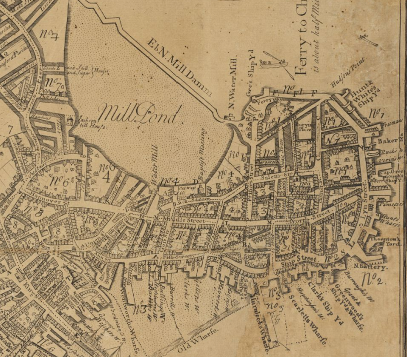
| current | 16:07, 18 October 2009 | | 813 × 714 (1.06 MB) | commons>M2545 | {{Information |Description={{en|1=Detail of 1769 map of Boston by William Price, showing North End and vicinity.}} |Source=http://maps.bpl.org/details_10343/?dl_pp=1&mtid=5 |Author=Price |Date=1769 |Permission= |other_versions= }} [[Category:Old maps of B |
File usage
There are no pages that use this file.